Google Earth
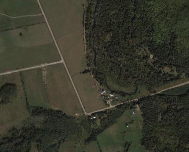
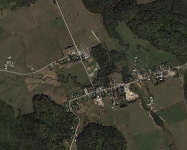
I was playing around with a computer program today called "Google Earth". Basically, they've mapped out the entire Earth with Satallite photos and the program lets you zoom in wherever you want to. Here's a couple pictures that I copied. For my family, see if you can recongize what these photos are of:
posted by Blake at Monday, November 07, 2005
![]()
![]()

2 Comments:
we got it the Cheslock farm in poltimore Quebec and the village of Poltimore showing the road past the school!!! Cool
November 07, 2005 6:24 a.m.
Isn't it great that I could find that stuff?
November 10, 2005 3:32 a.m.
Post a Comment
<< Home